send link to app
WhirlyViz app for iPhone and iPad
4.8 (
7488 ratings )
Reference
Education
Developer: mousebird consulting inc.
Free
Current version: 1.80, last update: 8 years agoFirst release : 21 Nov 2013
App size: 7.14 Mb
WhirlyViz is an interactive, 3D, geospatial data display app. It works in a couple of modes.
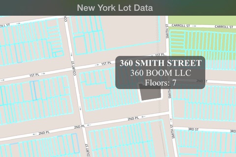
On startup it will show you several pre-built configuration files. Select one and you can browse through a remote data set, zooming, panning and querying as you go.
WhirlyViz will also respond to external URLs and can display GeoJSON files on top of standard image base maps.
Configuration files can be scripts, allowing for a range of interesting functionality. Contact mousebird consulting for details.

